CN
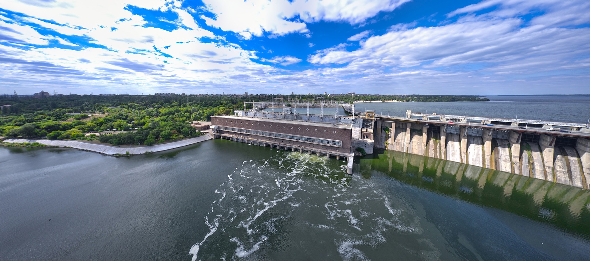
Data related with information systems of water environment, flood control, water source, water supply, water use, water saving, drainage, sewage treatment are collected and integrated through the water affairs intelligent operations center, to realize the comprehensive analysis and presentation based on the digital twin scenes and to comprehensively manage water affairs.
 Full Integration of Peacetime and Wartime
The daily water affairs management and control of environmental protection, safety and service shall be closely combined with the emergency linkage under the case of emergencies, so as to realize the dual-utilization of peacetime and wartime and improve disposal efficiency.
 Full Cycle Management
The whole cycle covers the construction period of reservoir, pipe network, watercourse, etc., aiming to realize the unified dispatching and cooperation of cross-department, cross-system and full cycle in combination with the full element operation period of reservoir, user, purification plant and watercourse.
 All Business Coverage
The water environment, water disaster, water resource, water supply, water use, water saving, drainage, sewage treatment and water conservancy project are integrated and presented uniformly.
 "One Screen" Monitoring
Through multi-source data fusion, full-element real-time monitoring and early warning of water-wading information are carried out to realize one-screen panoramic view, drilling query and analysis of key information , and assist on-duty personnel to find problems in time.
 “One Map” Management
On the basis of geographic information and 3D model, digital twins are constructed and the water related objects such as river, water system, reservoir, pipe network, pump station, water plant and user are connected, with the purpose of improving the comprehensive management ability of water affairs.
 "One-stop" Dispatching
Various analysis tools are utilized to analyze the causes of dangerous and warning cases and analyze cross-department linkage, so as to create a multi-perspective and all-round decision-making environment. For example, for the real-time monitored waterlogging points, the model service is used to obtain the current situation information in time, so as to analyze the causes of waterlogging, find problems in time and adjust the dispatching scheme to alleviate the disaster deterioration.
 "Integrated" Operations
With LOT and GIS technologies, basin information about meteorology, water and rain, work condition, video monitoring, three-prevention materials and rescue team is integrated, and the relevant information of watercourse, reservoir and plant network in different departments is displayed and analyzed on the same platform, to realize the "one map" operation of ecological environment and flood control and drainage in the basin.
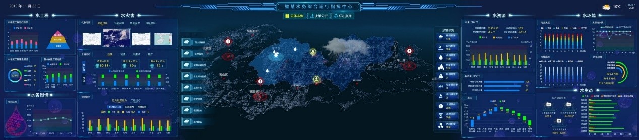
The integration of multi-dimensional data related with water, rain, work condition and video realizes the one-map overview of the overall situation, analyzes the water safety, water environment and water dispatching to assist the decision-making, and finally realize the all-round linkage command of early warning, resource viewing and dispatching tracking.
Office Address: Room 2110, Unit 2, Building 9, Tianfu New Valley, Wuhou District, Chengdu,Sichuan Province
Office Address: Room 1701, Zifang Building, 3333 Shuanglong Avenue, Jiangning District, Nanjing,Jiangsu Province
Office Address:Room 1504, Unit 5, Building 11, Guojinhua Mansion, Weiyang District, Xi'an , Shanxi Province